
360° aerial tours
Stand in the sky over Jackson Hole.
Interactive 360° aerial panoramas, each stitched from dozens of drone frames into one 100+ megapixel sphere. Drag the view below to look around.
Drag to look around. Pinch or scroll to zoom.
What it is good for
A tour, not a photo.
- Resorts and destinations: let guests explore the mountain before they book
- Land and ranch listings: show acreage, access, and views in every direction
- Developments: show buyers exactly what a lot will look out on
- Apps, maps, and brands: high-resolution spheres delivered for your own platform
How we make them
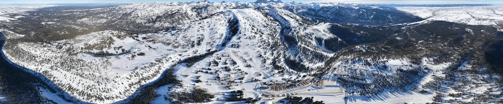
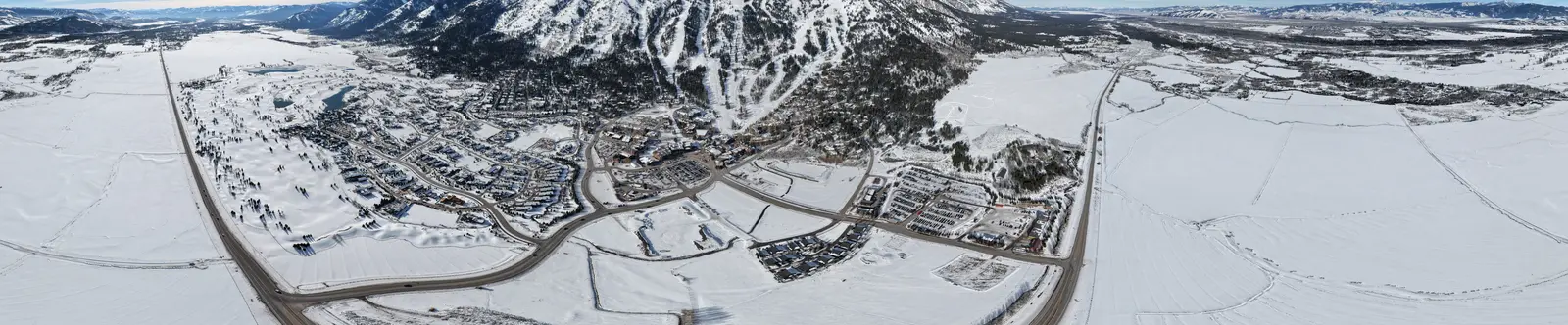
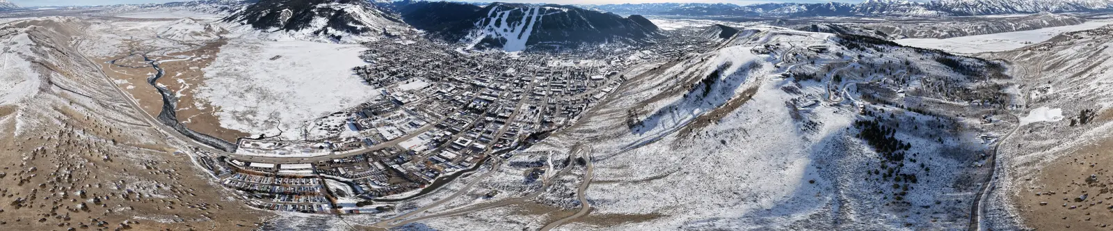
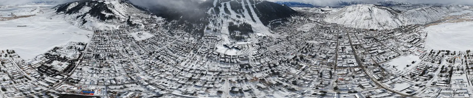
The drone holds one position while it captures a full sphere of overlapping frames, 43 per panorama on this series. Those frames are stitched and color matched into a single 14,400 by 7,200 pixel image, then delivered as a file for your platform or embedded as an interactive viewer like this one.
The series
Four spheres, two months.
Want a 360 tour of your property or resort?
Tell us where and what it is for. We plan the vantage points around your vision.